#195
Sentinel-1 C-SAR
European Space Agency
10 m6-day revisitNo data fee
TerraScout, our product
No GIS jargon, no provider catalogues. Just say what the project is.
Place, purpose, resolution and timing are pulled out and checked.
Each data source is scored on resolution, cost, coverage, timing and quality.
Describe your project.
Get a ranked data shortlist.
STRUCTURED PARSE
“Flood mapping near Lismore NSW”
RECOMMENDED DATA SOURCES
6 results
Sentinel-1 C-SAR
European Space Agency
Sentinel-2 MSI
European Space Agency
NSW Aerial Imagery
NSW Spatial Services
Recreated from TerraScout’s real result for this brief.
UrbanMind, our product
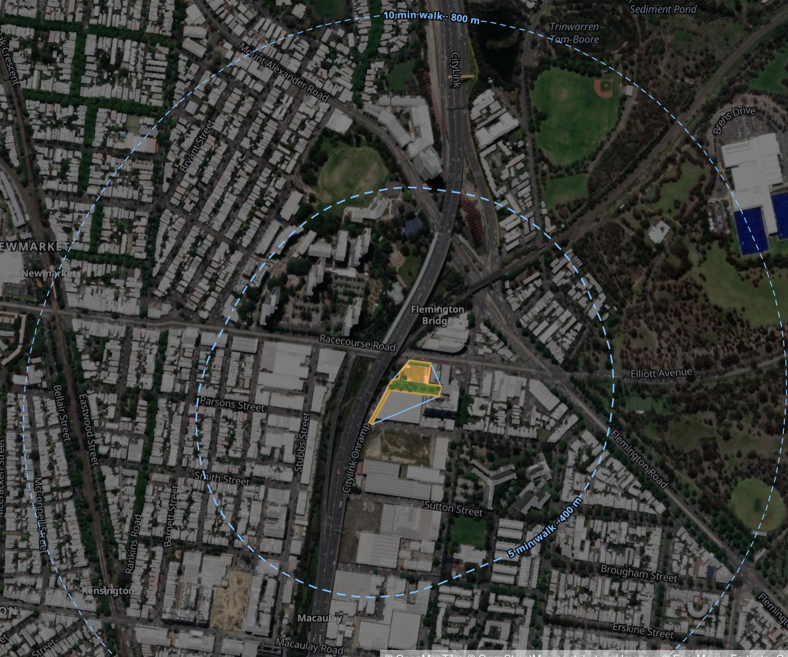
Search any address or suburb in Greater Melbourne and fly straight there.
Outline a site, choose a development type, and the buildings appear.
New homes, people and value update as you design, ready to test against 25 planning models.
Population
+0
Homes
+0
Value
$0.0M
UrbanMind’s North Melbourne example. Imagery © Esri, Maxar, Earthstar Geographics; © OpenMapTiles, © OpenStreetMap contributors.
Built by the founders. Ownership of the products is separate from Kavomira until formally transferred.
Tell us in a few lines. We’ll read it ourselves and tell you honestly how we can help.
Tell us what you need